01
Planning analyst
Composite mapping
Prompt
Collect water bodies, roads, DEM, and land-cover data for this area, then generate a composite thematic map with a legend and export it as PNG/PDF.
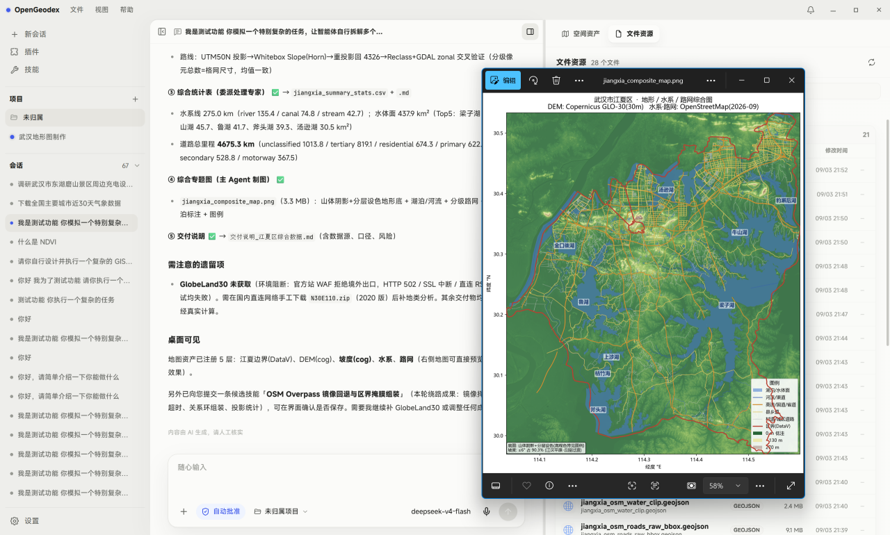
Describe your goal and OpenGeodex orchestrates local data collection, processing, analysis, and cartography — turning complex GIS work into traceable, reusable agent tasks.
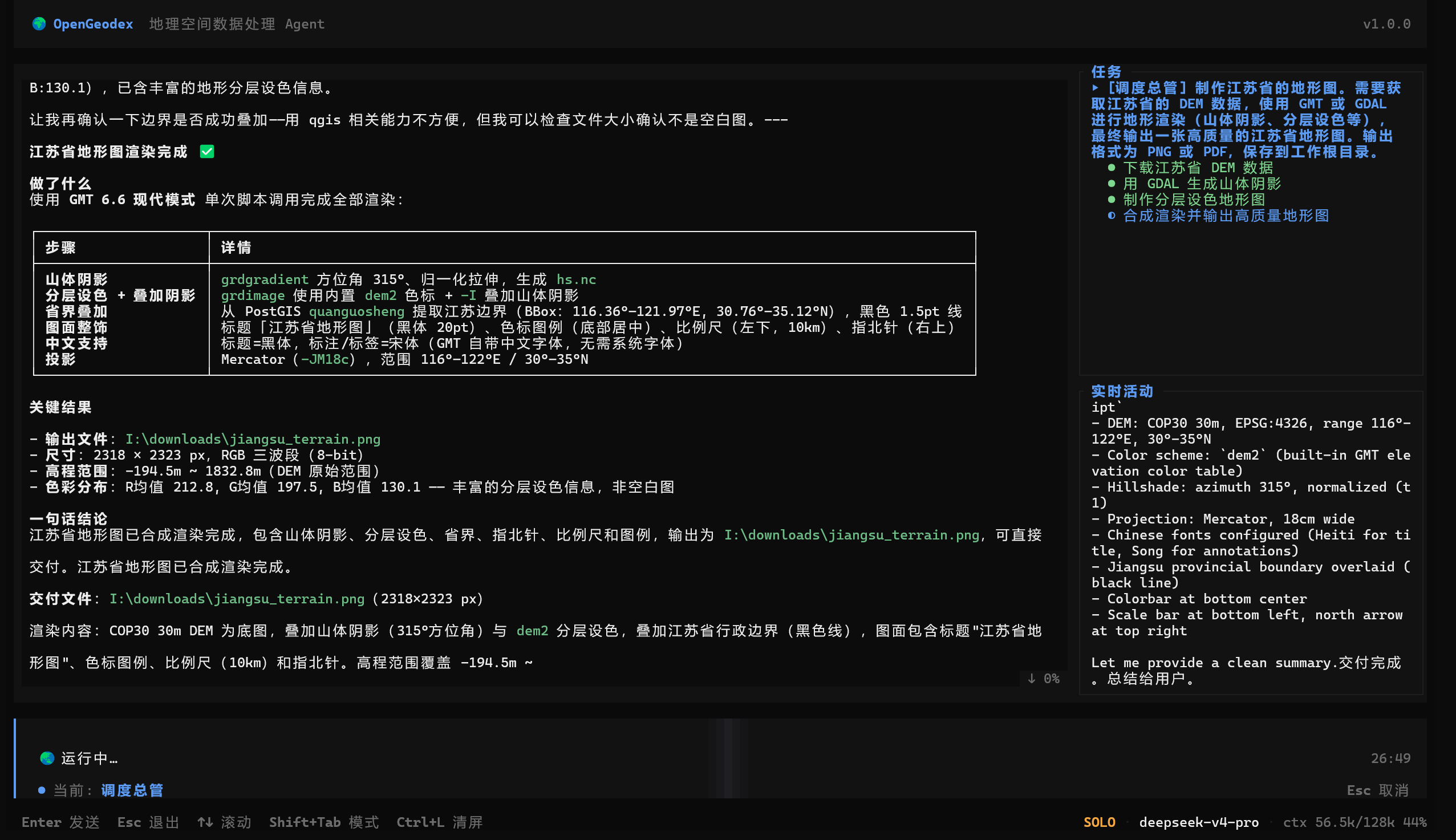
Processing, file access, and execution run on your own machine, so project data does not need to move to an external platform.
Use any mainstream OpenAI-compatible model provider, including privately deployed local models. OpenGeodex avoids model lock-in and includes extra tuning for DeepSeek in Chinese geospatial workflows.
Built-in geospatial experts cover GIS, remote sensing, data collection, processing, and analysis, while custom experts let teams encode their own working knowledge.
Connect external systems and professional platforms such as PostGIS, Google Earth Engine, and GeoServer, so data and compute capabilities flow naturally into agent workflows.
Model output is guided into executable, inspectable geospatial workflows, making tasks faster, more accurate, and more reliable.
A visual desktop app brings together chat, map previews, file resources, and execution traces, so non-GIS users can begin from a plain-language goal.
Common geospatial processing is ready out of the box, without asking every user to install and configure a full GIS stack first.
OpenGeodex can retain habits, project knowledge, reusable workflows, and lessons learned, becoming more useful and more professional over time.
OpenGeodex connects GIS, cartography, design, and internal tools, allowing the agent to work inside the production ecosystem teams already use.
Selected sources for terrain, imagery, vector data, POI, weather, and more help research and analysis start with less data wrangling.
Assign work, receive results, and monitor progress through Feishu or personal WeChat without staying in front of the workstation.
Web crawling, web search, OCR, voice input, and external MCP services turn pages, images, speech, and tools into task context.
File writes, external commands, and higher-risk actions remain reviewable and traceable, keeping data access under user control.
Complex requests are decomposed into plans, routed to expert capabilities and sub-agents, then scheduled across serial and parallel steps.
The Windows desktop app is available as an installer or portable package.
Planning analyst
Collect water bodies, roads, DEM, and land-cover data for this area, then generate a composite thematic map with a legend and export it as PNG/PDF.
Research analyst
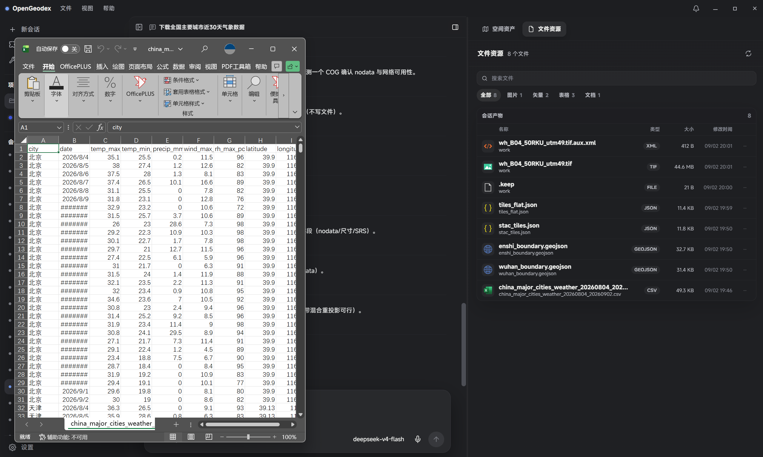
Download meteorological data for major cities across China for the last 30 days. OpenGeodex can also collect terrain, imagery, vector, POI, weather, and other multi-source web data automatically.
Remote sensing analyst
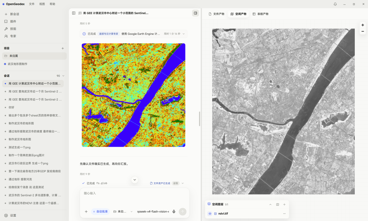
Fetch Sentinel and other remote sensing imagery for the target area, run NDVI and band calculations locally or with GEE cloud compute, then crop, inspect, and export analysis-ready layers and maps.
Site selector
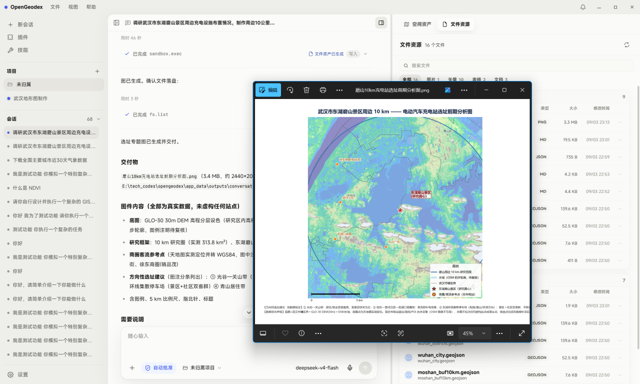
Compare these candidate sites by nearby POI, roads, water bodies, and buffer coverage, then output an inspection map.